
Air quality, climate, aerodynamics, environmental software, olfactometry
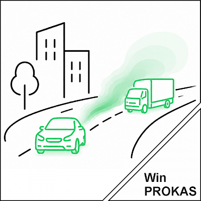 | ... Traffic-related Emission and Immission Calculation |
WinPROKAS is a software system for calculating and visualizing traffic-related air pollutant immissions, including the corresponding emission calculations. As modern stand-alone software, WinPROKAS continues the previous application SELMAGIS PROKAS in an independent, powerful, and practice-oriented environment.
The software offers a project-based, intuitive, map-driven user interface and supports common GIS formats and map services, including Shapefiles, WMS services, and OpenStreetMap. Different coordinate systems such as UTM can also be used easily. WinPROKAS thus integrates seamlessly into existing workflows for air quality planning and immission assessment.
Features at a Glance
WinPROKAS covers the complete workflow from data acquisition to results visualization:
PROKAS_E: Emission Calculation for Road Traffic
With PROKAS_E, vehicle-related emissions of relevant pollutants for a given road network can be calculated precisely and transparently. The basis consists of pre-calculated emission factor tables, which allow emissions to be determined individually for each road segment.
The calculation uses traffic-specific input data such as traffic situation, average daily traffic volume, heavy vehicle share, and optionally detailed vehicle counts by vehicle category. This information is provided in SD3 format based on the ESRI Shapefile format. In addition, emission factor tables in EFT3 or EFTK format are used for the desired reference years.
PROKAS_E offers, among other things, the following functions:
PROKAS_E thereby creates a reliable foundation for the subsequent dispersion calculation while ensuring transparency and traceability throughout the entire emission modeling process.
Flexible Emission Factors for Realistic Assessments
A particular advantage of PROKAS_E lies in the flexible consideration of different emission factors. Typically, the tables used are based on the current HBEFA and reflect different reference years and vehicle fleet compositions.
In addition, region-specific fleet compositions can also be taken into account. This allows realistic mapping of, for example, differences between federal states, deviating diesel shares, or special distributions by Euro emission standards. Separate emission factor sets can also be created for low emission zones where the vehicle fleet differs significantly from general average values.
Individual questions can also be addressed in a targeted manner, such as:
High-Performance Dispersion Calculation for Road Traffic
The integrated dispersion model PROKAS comprises the modules PROKAS_V and PROKAS_B and enables the calculation of traffic-related immission concentrations for different urban development situations.
PROKAS_V is based on the Gaussian approach in accordance with VDI 3783 Part 1, with special modifications for motor vehicle traffic. Any number of road segments within a road network can be processed. Based on a local dispersion class statistic, PROKAS calculates, among other things, annual mean values as well as PM10 daily mean value exceedances. The results are output in a way that allows comparison with the assessment values for the protection of human health in accordance with the 39. BImSchV.
PROKAS_B is designed for densely built-up areas and street canyons. The module calculates the additional load particularly in cases of partially or fully closed surrounding development, using results from microscale dispersion calculations with MISKAM for typical building structures. This enables realistic assessment even of complex inner-city situations.
Your Advantages with WinPROKAS
Hardware Requirements
| Component | Specification |
|---|---|
| CPU Speed | Min. 2.2 GHz / Hyper-Threading (HHT) or multi-core systems recommended |
| Platform | x86 or x64 (with SSE2 extensions recommended) |
| RAM | Minimum: 8 GB / Recommended: 32 GB or more |
| Screen Resolution | 1920×1080 recommended or higher |
| Graphics Card | Minimum: 2 GB VRAM / 24-bit-capable graphics accelerator recommended |